Why SafeSpot?

In 2021, a heat dome killed
570 people in British Columbia.

Many victims lived near cooling centres — but had no way of knowing. If they had received a real-time alert and been guided to the nearest safe space, more lives could have been saved.

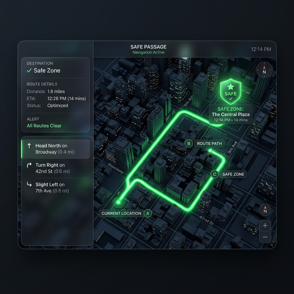
SafeSpot detects extreme heat in real time and routes you to the nearest cooling centre via GPS.

How It Works

From Sensor to Safety

Unlike weather apps that report a city-wide average, SafeSpot measures the actual temperature where you are.

Measure Real Local Heat

A Raspberry Pi sensor captures actual ground-level temperature.

Hardware

Map Urban Heat Zones

ArcGIS data overlays heat island zones on an interactive map.

GIS Data

Trigger Danger Alerts

Alert trigger when heat and location reach extreme risk.

Alert System

Route to Safety

Instantly calculates your nearest cooling centre via Maps.

Routing

Live Map

Interactive Heat Dashboard

Experience our live integration. We combine real-time hardware sensor readings with ArcGIS mapping to highlight extreme urban heat zones and safely route users to cooling centres.

Live Dashboard
Local Humidex
20.0°C
SafeRaspberry Pi
City Weather
--°C
Toronto•--
📍 Your Location--, --
Test
❄️ Nearest Cooling Centre
Detect location to calculate
📚 Nearest Library
Detect location to calculate

Open Source & Ready

Explore the complete SafeSpot architecture. From Raspberry Pi sensor scripts to the FastAPI backend and Next.js frontend—everything is available for review and contribution.

View on GitHub→
main.py
1@app.post("/api/sensor-data")
2async def receive_data(data: SensorData):
3 if data.temperature > 35.0:
4 trigger_alert("Extreme Heat Warning")
5 return {"status": "success"}

Behind SafeSpot

Meet the codeXperts

The engineers and designers behind the project.

Our Partners